Community Wayfinding

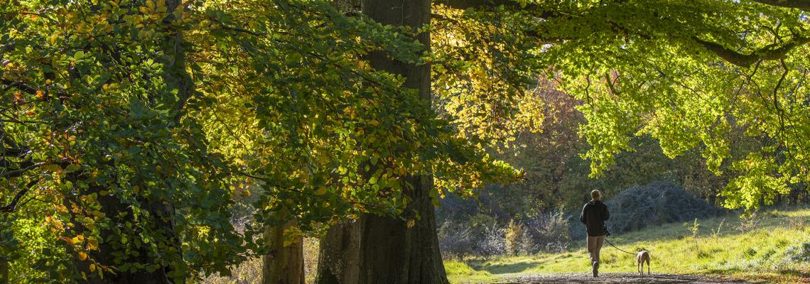
Across the Blenheim Estate we have created a series of permissive paths for the public to use alongside the Public Rights of Way. There are a variety of walks across the Estate which range in difficulty and length. We want to connect the local community by way of a network of cycle routes and paths across our land, promoting green travel and connecting the local villages in a more environmentally friendly way.

Path reporting


We're incredibly excited to announce that we have started a new project with Natural England, the University of Oxford, Oxfordshire County Council, the Ramblers, Greenspace Hack and Editions Systeme D to explore opportunities for crowdsourcing measurements of path quality.

Download the app: Path Surveyor (only available on iOS) and join the community looking after our paths.

Find out more

Community Map

Below is an interactive community map which has details of different walking and cycling routes across our estate. It also shows our permissive paths and socially prescribed pathways.